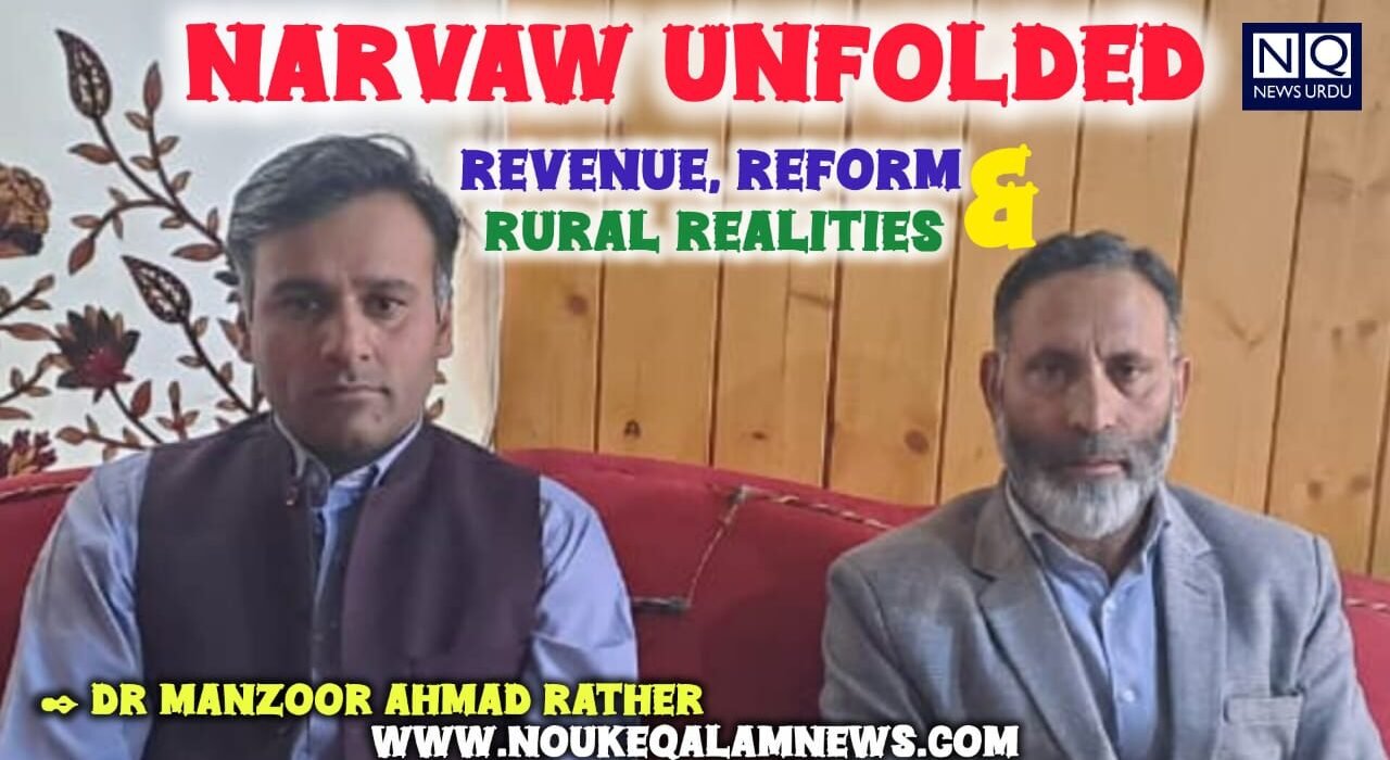
✒️ :. Dr. Manzoor Rather
Based on an Interview with Mr. Mashooq Ahmad Parray (Naib Tehsildar Narvaw)
Conducted by Dr. Manzoor Ahmad Rather
This chapter presents a critical examination of the land revenue system, agrarian structure, and administrative organization of Narvaw in Baramulla District. Drawing upon primary data collected through an official interview with the Naib Tehsildar Narvaw, the study explores land classification, ownership patterns, historical transformations, and contemporary challenges. The analysis situates Narvaw within the broader framework of post-reform agrarian change and ongoing digital governance initiatives, thereby highlighting both continuity and transition in rural land systems.
The geographic coordinates for the Narvaw developmental block, situated within the Baramulla District of the Union Territory of Jammu and Kashmir, are approximately defined by the latitudinal and longitudinal intersection of 34.1778° N and 74.2613° E. From a geospatial and administrative perspective, the region can be further delineated as follows:
Spatial Extent: The block encompasses a diverse topographical range, extending roughly from the riparian plains of the Jhelum River toward the rugged mountainous terrain of the lower Himalayas.
Geopolitical Context: Located in the northern reaches of the Kashmir Valley, Narvaw serves as a vital constituent of the Baramulla sub-division, governed under the Panchayati Raj framework of the Jammu and Kashmir administration.
Introduction: Land constitutes the foundational axis of rural socio-economic organization in Kashmir. The study of land revenue systems not only reveals patterns of ownership and production but also provides insights into power relations, governance structures, and developmental trajectories. Narvaw, a historically agrarian region, offers a compelling case for examining the intersection of traditional landholding systems and modern administrative reforms.This chapter is based on a structured interview conducted by Dr. Manzoor Ahmad Rather with Mr. Mashooq Ahmad Parray, the Naib Tehsildar of Narvaw, aiming to document the empirical realities of land administration while situating them within a broader analytical framework.
Administrative Structure and Governance: Narvaw is administratively organized as a revenue block comprising 22 villages, distributed across four Patwar Halqas. It falls under the jurisdiction of Tehsil Narvaw in Baramulla district. However, despite its nominal status as a tehsil, the administrative structure remains partially developed, as it lacks an independent staff framework and continues to function under the supervisory control of the Tehsildar Baramulla. A significant shift in governance has occurred with the introduction of digital revenue portals, facilitating the issuance of certificates and maintenance of land records. This transition reflects a broader movement toward e-governance, although institutional limitations persist at the local level.
Spatial Extent and Land Settlements: The total geographical area of Narvaw is recorded as 52,582 kanals, encompassing 22 revenue villages. The region shares its boundaries with areas such as Gantamulla Bala, Sheerinabad, Bulbulabad, and Nowgam, indicating its integration within a wider territorial network.
Historically, the region underwent a land settlement during 1959–60, which continues to serve as the basis for present-day land records. Such settlement operations were instrumental in formalizing land ownership and revenue assessment, thereby shaping the agrarian landscape of the region.
Land Classification and Agrarian Base: The land in Narvaw is categorized into three principal types: Agricultural land, Kahcharai (grazing land), State land. The predominance of agriculture is evident, with 65–70% of the total land under cultivation. This indicates a strong agrarian orientation, where land remains the primary source of livelihood.The presence of Kahcharai land reflects traditional pastoral practices, while state land signifies areas under governmental control, often subject to regulatory frameworks and developmental policies.
Agricultural Practices and Resource Utilization: The agricultural landscape of Narvaw is defined by a sophisticated intersection of traditional subsistence and evolving commercial practices, characterized primarily by the cultivation of paddy, apple, and maize. While the region was historically distinguished from the southern “Saffron Belt” by the absence of officially recorded saffron production, this paradigm is currently shifting. Recent pioneering efforts in Heewan village in the Narvaw Valley have demonstrated that with meticulous pedological management—including the integration of organic matter and high-quality corms—saffron (Crocus sativus) can indeed thrive in the Narvaw block, challenging long-standing agro-climatic assumptions.
The transition toward saffron cultivation in this non-traditional belt was pioneered by Mudasir Ahmad Bhat, a resident of Heewan village. His experimental efforts have yielded a historic breakthrough for the Baramulla District. Initial trials in 2021 produced only 2–3 grams. Through refined pedological management, production escalated to 20–25 grams from a 40-square-foot plot by 2024.
Resource utilization in the Narvaw valley is predicated on a dual-source irrigation framework that leverages the region’s unique hydrography:
- Riverine and Canal Systems: A significant portion of the arable land is serviced by an intricate network of canals (Kuls) that channelize water from the Jhelum River. This traditional river-based system remains a cornerstone of regional agricultural productivity, particularly for water-intensive crops like paddy.
- The Mundri Nala Axis: Complementing the Jhelum’s reach is the Mundri Nala, frequently referred to as the “Water Tower of Narvaw.” This vital perennial stream bisects the Narvaw valley into two unequal geographical segments, providing a critical irrigation lifeline for the surrounding riparian lands and sustaining the orchards and fields that define the block’s economic output.
- Domestic Utility and Filtration: Beyond its agricultural utility, the Mundri Nala serves as the primary source for potable water across the Narvaw block. The water is channelized into high-capacity storage reservoirs (big tanks) situated within numerous villages. Following sedimentation and storage, the water is distributed through an extensive network of piped infrastructure, supplying domestic taps and sustaining the daily needs of the local population.
Demography and Land Ownership Patterns: As per the current revenue records Narvaw comprises approximately 7,236 households, with landholdings predominantly classified as small-scale. This pattern is indicative of progressive land fragmentation, a phenomenon driven by generational inheritance practices. Fragmentation has significant implications for agricultural efficiency, economic viability, and rural livelihoods, often leading to subsistence-level farming and limiting opportunities for large-scale agricultural development.
Historical Transformations and Land Reforms: While pre-modern revenue records are not readily accessible, the region experienced a major structural transformation under the Jammu and Kashmir Agrarian Reforms Act, 1976. This legislation marked a decisive shift in land ownership patterns by transferring ownership rights to tenants.
The reforms effectively dismantled elements of the feudal system, empowering cultivators and promoting a more equitable distribution of land. However, the long-term impact has also included increased fragmentation and challenges in land consolidation.
Contemporary Challenges in Land Administration: Despite administrative and legal reforms, Narvaw continues to face several land-related challenges. Among the most significant are: Partition disputes, particularly involving gender-based denial of inheritance rights. Ongoing conflicts over land ownership and usage. Such issues highlight the persistence of socio-cultural norms that often conflict with formal legal frameworks, thereby complicating the process of equitable land distribution.Additionally, infrastructural developments, such as the widening of the National Highway and railway expansion projects, are reshaping land-use patterns, introducing new dynamics into the rural landscape.
Digital Transformation and Future Prospects: The introduction of the Digital India Land Records Modernization Programme (DILRMP) represents a significant step toward improving land governance. This initiative aims to digitize land records, enhance transparency and accuracy, Integrate various land-related databases
From a developmental perspective, Narvaw possesses substantial potential. Effective land-use planning and resource management can contribute to economic growth and social welfare, provided that institutional mechanisms are strengthened and local challenges are addressed.
Administrative Composition – A Structural Overview: Narvaw is structured into four Patwar Halqas.
- Fatehgarh Halqa: Fatehgarh, Sheerinabad, Mirher, Heewan, Lateefabad.
- Kitchama Halqa: Kitchama, Gantamulla Bala, Gantamulla Payeen, Zamzampora, Zogiyar, Budmullah.
- Malpora Halqa: Malpora, Gulistan, Namblan, Audoora.
- Lalpora Halqa: Lalpora, Dangerpora, Taripora, Nowgam Kandi, Rajpora, Bulbulabad, Nowrang.
This administrative division facilitates localized revenue management while reflecting the spatial organization of the region.
The case of Narvaw illustrates a dynamic interplay between tradition and modernity in land administration. While historical land reforms have redefined ownership structures, contemporary challenges such as fragmentation, disputes, and institutional limitations persist. At the same time, the advent of digital governance and infrastructural development presents new opportunities for transformation. The future of Narvaw’s agrarian economy will depend on the effective integration of technological innovation with equitable and sustainable land management practices.
Dr. Manzoor Ahmad Rather (Narvaw Walla) is a scholar of English literature, researcher, and cultural advocate from Narvaw, Baramulla, Jammu and Kashmir. His work focuses on Partition studies, especially themes of memory, identity, and marginalized voices. He is the founder of the Narvaw Literary Society and author of Partition, People and Planet (2025). Alongside academia, he contributes as a filmmaker and cultural documentarian, promoting literature and preserving historical narratives.
Support Independent and Impartial Journalism
Nouk-e-Qalam News is a free and independent journalistic platform. To maintain our ethical standards and avoid obscene advertisements, we have disabled Google Ads. We now rely on your generous financial support to continue our unbiased reporting. Our Writers and readers are kindly urged to contribute—daily, weekly, or monthly. Thank you for standing with truth.